New paper on lidar DEM evaluation by Cody Gillin
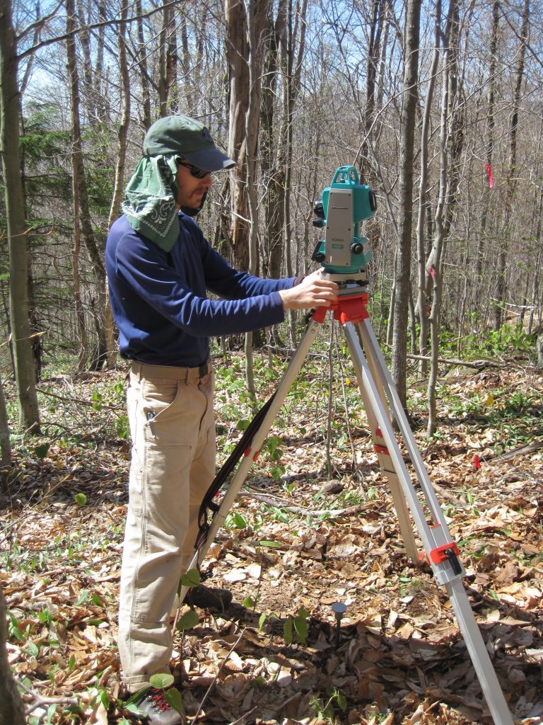
Gillin, C.P., Bailey, S.W., McGuire, K.J., Prisley, S.P., 2015. Evaluation of lidar-derived DEMs through terrain analysis and field comparison, Photogrammetric Engineering & Remote Sensing, 81(5): 387-396, doi: 10.14358/PERS.81.5.387. Abstract Topographic analysis of watershed-scale soil and hydrological processes using digital elevation models (DEMs) is commonplace, but most studies have used DEMs of 10 m resolution or coarser. […]
New paper on lidar DEM evaluation by Cody Gillin Read More »